You can view the map in your browser. The maps are in the .mbtiles format and can be used in a variety of free apps to navigate by.
To see any current restrictions check out the Alerts@Department of Biodiversity, Conservation and Attractions
Find out the if there are any alerts with regards to Shark sightings or other relevant info that may affect your water activities. Shark Smart
The Beach Emergency Numbers are shown on the maps also. You can find out more at Surf Life Saving Western Australia
The maps are based on GEODATA TOPO 250K Series 3 (Google Earth format) by Geoscience Australia Gazetteer of Australia 2013 Release. Geoscience Australia, Canberra. which is © Commonwealth of Australia and is provided under a Creative Commons Attribution 4.0 International Licence and is subject to the disclaimer of warranties in section 5 of that licence.
Based on the Beach Emergency Numbers by Department of Primary Industries and Regional Development and is provided under a Creative Commons Attribution 4.0 International Licence and is subject to the disclaimer of warranties in section 5 of that licence.
Contours generated from the Shuttle Radar Topography Mission (SRTM) dataset available from U.S. Geological Survey, National Geospatial Program.
Black Point, Cosy Corner & Bobs Hollow, Moores Track & Mandalay Beach, Summertime Track & Warren River
Boat Harbour rd & Parrys Beach, Bremer Bay, Fitzgerald NP (East), Peaceful Bay & the Blue Holes, West Cape Howe & Bornholm
Balbinya Balbunya & Toolina Cove, Butty Head & Rose's Beach, Cave Hill & Burra Rock, Dundas to Balladonia, Esperance (East), Holland Track, Munglinup Beach, Stokes Inlet & Quagi Beach
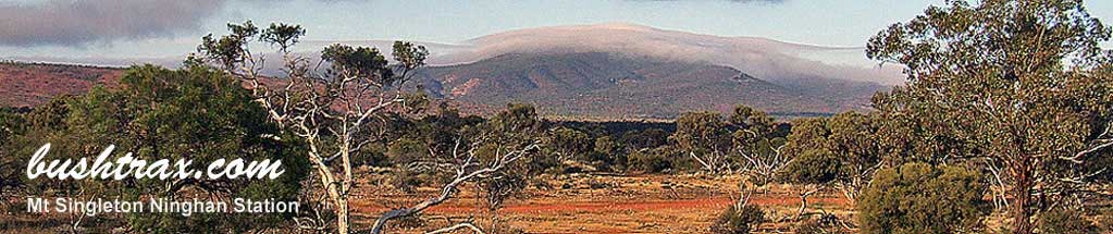
Ninghan Station, S Bend Caravan Park, Wagoe Beach
The Kennedy Ranges