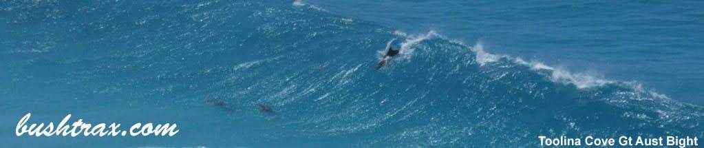
This map shows the area east of Israelite Bay between Balbinya Station, Balladonia and Toolina Cove
View the Balbinya Balbunya & Toolina Cove Map
For Parmango and Balladonia road conditions within the Esperance Shire
For Balladonia road conditions within the Dundas Shire
This map starts at Munglinup and takes in the areas of Fanny Cove, Quagi Beach, Rose's Beach and Butty Head.View the Munglinup To Easperance Map
DownloadThe Holland Track North map displays an area between Southern Cross to Coolgardie, down to Higginsville and across to Marvel Loch. This takes in the Holland track (north), Burra Rock, Cave Hill, Banks Rocks, Victoria Rock.
Because of the size of the map, we have spilt the map into north and south sections. These are the two maps in the zip file that you can download.
View Holland Track North Map
View Holland Track South Map
Kondinin Shire Road Reports
Dundas Shire Road Reports
Coolgardie Shire Road Reports
Yilgarn Shire Road Reports
This map shows the coastline east of Esperance out to Israelite Bay starting at Legrand Beach.
View the Esperance East Map
There is a second map titled Thomas River to Israelite Bay Mt Ragged that will display the tracks north of Israelite Bay up Mt Ragged, Jurandah Rockhole and Kangawarrie Tank.
View the Mt Ragged map
The Telegraph Track from Poison Creek rd to Pasley Track is permanently closed due to dieback. Cape Arid and the northern regions are generally closed in winter. Check the DBCA alerts on the previous page.
For Parmango and Balladonia road conditions within the Esperance Shire
For Balladonia road conditions within the Dundas Shire
The Holland Track map displays an area between Southern Cross to Coolgardie, down to Norseman and across to Hyden. This takes in the Holland track, Burra Rock, Cave Hill, Banks Rocks, Victoria Rocks, Dundas and many other POI. The local shires may close portions of this area at times of heavy rainfall, check the road reports.
View the Holland Track North Map
View the Holland Track South Map
Kondinin Shire Road Reports
Dundas Shire Road Reports
Coolgardie Shire Road Reports
Yilgarn Shire Road Reports
This map starts at Munglinup and takes in the areas of Fanny Cove, Quagi Beach, Rose's Beach and Butty Head.
View the Munglinup To Easperance Map
This map starts at Munglinup and takes in the areas of Fanny Cove, Quagi Beach.
View the Stokes Inlet & Quagi Beach Map