Stokes Inlet & Quagi Beach

- Contact:DEC Esperance DEC Esperance Phone: 08 9083 2100 92 Dempster Street Esperance


- Nearest service: Munglinup Roadhouse 26km
Esperance 37km


- Distance from Perth: Quagi Beach 688km
- Track Length: Stokes National Park (Quagi Beach) 30km
 Esperance
- StreetSmart®Travellers Atlas 9th Edition Map: 46 Grid Ref: A 5
- Roads and Tracks Western Australia 2005 Map: 11 Grid Ref: B 3
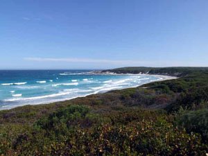
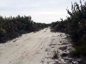
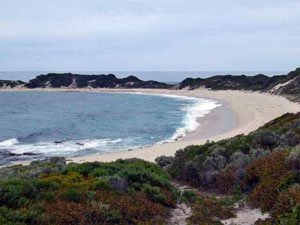
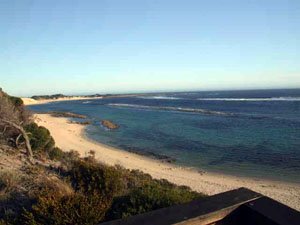
Quagi Beach can be accessed at the end of Farrells rd. There are excellent camping areas there. The coastal track that runs west of Quagi Beach is approximately 5km long and is a dead end. The track to Fanny Cove runs due west off Farrells rd. The track runs along the side of a farm fence line and starts approximately 7.5km south of the highway.It is approximately 8.5km from Farrells rd to the Stokes Inlet turn off and a further 3.5km to the Stokes Inlets's parking area. After the Stokes Inlet turnoff the next T-junction will take you to the parking area at Moirs Homestead. The T-junction here can be soft sand.
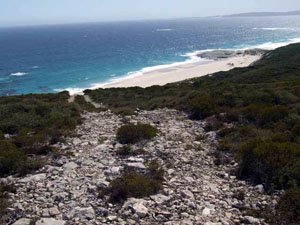
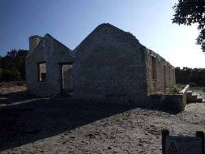
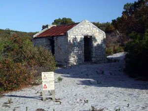
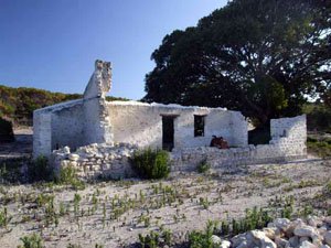
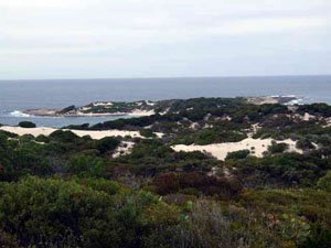
There are two little bays (34 & 36) to the south of Fanny Cove. These are day use areas only. If you park at WPT36, you can walk to Shoal Cape along the beach. The track out to Shoal Cape is suitable for camper trailers. The beach at Shoal Cape can only be accessed by walking down the steps. Shoal Cape looks to be an ideal spot to do some diving. The building around Moirs Homestead are structurally unsound and areas are frequented by lots of bees. There is a defined walking path around the area. The western side of Stokes Inlet (Stokes Inlet rd) was closed at the time. Please contact DEC regarding access
Right click mouse and use scroll wheel to zoom the map below. You can also access the free map at maps.bushtrax.com where you view and download the map in the .mbtiles format. We have provided information about some apps that will handle this map format. Using your mobile to view in landscape mode is best.

