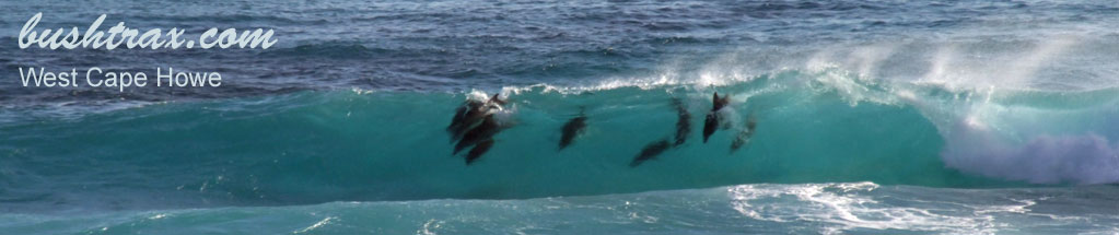
Boat Harbour & Parrys Beach

- Boat Harbour rd is 47km east of Walpole and a further 8km in from the highway. The tracks in the area are black sugar sand. Recent improvements made to the Rope Hill track has made access easier. There is no camping at Boat Harbour itself.
- Contact: DPaW Albany 9842 4500


- Nearest service: Denmark or Walpole


- Nearest service: Boat Harbour Chalets
- Nearest service: Parry Beach camp ground

 Windy Harbour
- Distance from Perth: Parrys Beach Camp ground 450km
Distance from Walpole: Boat Harbour rd 47km
Distance from Denmark: Boat Harbour rd 27km - StreetSmart�Travellers Atlas 9th Edition Map: 3 Grid Ref: A 2
- Roads and Tracks Western Australia 2005 Map:1a Grid Ref: F 2
The tracks around Boat Harbour beach provide you with access to the headland area only. Generally the headland is rock sloping to the ocean is dangerous. There are grassed camping areas (BH06) on either flank of the harbour. The toilet area is near the beginning of the Rope Hill track. Beach access is easy.


The Rope Hill track has been rehabilitated with the help of the Denmark Boating & Angling Club and the Walpole Work Camp. The track has rubber matting at the more difficult hill climbs now. It is prudent to park your car at BH12 if want to access the cliff at BH13 due to the confined turning area.


To get to Little Quarram Beach from the Boatharbour you have to go back to BH04. At this point you keep driving straight. There is a sandy hill climb along here, though there is a detour track around it. Turning left at BH20 will take you to the sheltered campsite (BH22). The track is quite good along here and has railway sleepers at one difficult section.
The dune area has a fenced path through it and is generally flat. Sometimes due to the action of the wind, a soft white powder can be deposited at the crest of the sandy hill near BH24. There is quite easy access to the beach at BH27 and the track does travel in a southerly direction along a rocky shoreline.


The actual coastal track behind Parrys Beach runs parallel to a steep escarpment. The track can be quite steep and on a nerve wracking angle at times. The track approaching the escarpment is black sugar sand again. Beware there are some steep descents around here. The track in is quite soft in spots and reducing your tyre pressures makes the drive a lot easier. The first junction (PB12) will take you down a steep track that is in good condition. There is a small beach at the end of this track (PB19)


Leaving the small beach behind the next junction will be PB13. Here you veer to the right to avoid any oncoming traffic. Eventually you come to the steep descent at PB14. Vehicles with low ground clearance may incur damage during the descent. At the bottom you have to turn a hard right to traverse the bottom track. Once have tackled the descent the track will take along the coast till you reach the small beach at PB20.


Right click mouse and use scroll wheel to zoom the map below. You can also access the free map at maps.bushtrax.com where you view and download the map in the .mbtiles format. We have provided information about some apps that will handle this map format. Using your mobile to view in landscape mode is best.
2012-06-7