Drummonds Cove

- The track from Drummond 's Cove to Bowe 's River hugs the coast. Generally an easy sandy track with little or no rocky terrain. There are some river bar crossing that will require your attention. Awareness of the tides and tyre pressures are pre-requisites. The area is prone to flooding in the winter months.
- Contact: Horrocks Beach Caravan Park


- Nearest service: Geraldton
- Track Length: 39km
 Geraldton
- Distance from Midland: Geraldton 406km
Geraldton to Drummonds Cove track 14km - StreetSmart®Travellers Atlas 9th Edition Map: 114 Grid Ref: A 1
- Roads and Tracks Western Australia 2005 Map:80 Grid Ref: F 5
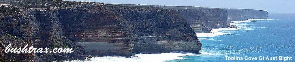
Here begins an excellent coastal trek that will take you all the way to Bowe's River ,just south of Horrocks Beach. You can pass the day away, fishing, surfing or snorkeling as the coastline varies from sandy beaches to rock ledges & reefs. Even the drive is a good experience. You will find the entry to the track at the end Drummond 's Cove rd. If you have come up the North West Coastal Highway turn left at the Drummond's Cove Caravan Park. Follow this to the end and where the road swings left, you will see the start of the track on your right.

The drive north is uneventful until waypoint 6, where a sand dune may provide you with some fun. After tackling that, its all downhill from here to Coronation Beach. It does get a bit tight with regards to foliage at waypoint 13, though it is mainly all green & soft. The river crossing south of Coronation Beach may entail that you drive onto the beach, across the river bed and back onto the track that follows the base of the coastal hills.


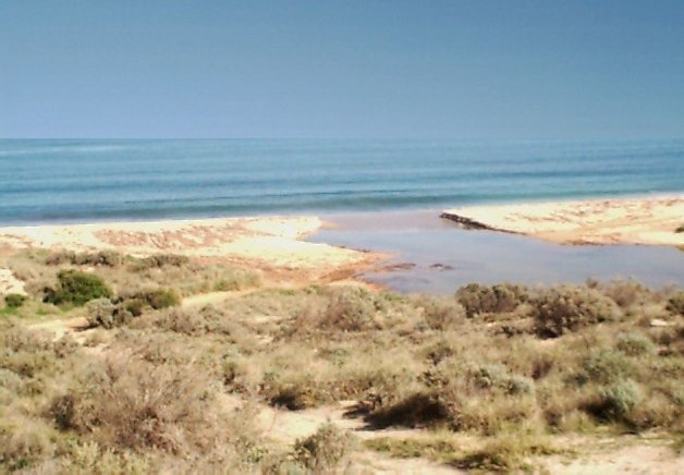
Having reached Coronation Beach there are 2 alternatives, continue travelling north till you reach the Oakabella River or if this is impassable there is a gravel road back to the NW Coastal Hwy. If you tackle the Oakabella River have a good look at the two ways across. The actual track runs into the river, if you take this way look for any recent vehicle activity, walk it and check the integrity of the bottom.
The other way across is to wait for low tide and try the sand bar. Sand bars present their own set of variables, the sand can turn into quicksand and is generally always soft. Once again walk it and choose your path before driving across, engaging 4WD beforehand. Also along here there are a series a gates, as the sign implies SHUT THE GATE MATE is all that needs to be said to keep this stretch open to the public.
North of the Oakabella River the track is extremely easy to traverse, running very close to the beach all the way to the Bowe 's River where upon you will have to cross another sand bar. Arriving at the gravel car park it is then a short drive along the gravel back to the Northampton-Horrocks Rd.