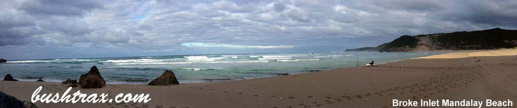
Drummonds Cove

- The track from Drummond 's Cove to Bowe 's River hugs the coast. Generally an easy sandy track with little or no rocky terrain. There are some river bar crossing that will require your attention. Awareness of the tides and tyre pressures are pre-requisites. The area is prone to flooding in the winter months.
- Contact: Horrocks Beach Caravan Park


- Nearest service: Geraldton
- Track Length: 39km
 Geraldton
 - Distance from Midland: Geraldton 406km
Geraldton to Drummonds Cove track 14km - StreetSmart®Travellers Atlas 9th Edition Map: 114 Grid Ref: A 1
- Roads and Tracks Western Australia 2005 Map:80 Grid Ref: F 5
Ninghan Station

- Ninghan Station is part of the DEC rangelands and is managed by the 3rd generation of the Bell family. In the 1870's the Monks from New Norcia shepeherded their sheep in the district, remains of the old stone buildings can be found near the homestead.
- Contact: Ninghan Station 08 9963 6517

- Nearest service: Paynes Find
- Track Length: 225km
- Distance from Midland: Ninghan Station homestead 365km
- StreetSmart®Travellers Atlas 9th Edition Map: 117 Grid Ref: B 5
- Roads and Tracks Western Australia 2005 Map:74 Grid Ref: C 2
S Bend Caravan Park

- The area behind the S Bend Caravan Park is comprised of relatively easy coastal tracks. Letting your tyres down is required. The beach is not recommended for driving due to a lot rocks etc. The tracks will get you to most required points of interest.
- Contact: S Bend Caravan Park (08) 9926 1072


- Nearest service: Dongara / Geraldton
- Geraldton
- Track Length: 17 km
- Distance from Midland: S Bend Caravan Park 403km
- StreetSmart®Travellers Atlas 9th Edition Map: 114 Grid Ref: A 3
- Roads and Tracks Western Australia 2005 Map: 76 Grid Ref: A 1
Wagoe Beach

- Wagoe Beach lies just to the north of Port Gregory. The southern end is accessible from George Grey rd, which gives you access to Sandalwood Bay and Lucky Bay. The beach will be very soft for vehicles. As of January 17 a fee of $15 per vehicle will be required per night.
- Contact: Northampton Shire

- Nearest service: Kalbarri 41km / Northampton 65km
- Gregory
- Track Length: 30km
- Distance from Midland: Sandlewood Bay rd and Grey rd 520km
- StreetSmart®Travellers Atlas 9th Edition
- Roads and Tracks Western Australia 2005