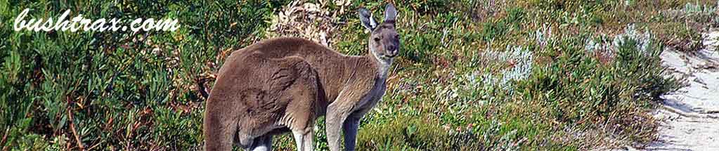
Black Point

- The track to Black Point consists of hard forestry tracks and black sugar sand(very loose sand). The terrain is generally hilly.Camping spots are at Black Point, Jasper Beach and Lake Jasper
- Contact: DPaW Pemberton Phone: (0)8 9776 1207 DPaW Parks and Wildlife


 @ Seal Cove, Black Point and Lake Jasper
 - Nearest service: Karridale

- Track Length: 120km
 Flinders Bay
- Distance from Perth: 300km to BP04
- StreetSmart®Travellers Atlas 9th Edition Map: 16 Grid Ref: A 4
- Roads and Tracks Western Australia 2005 Map:12 Grid Ref: F 5
Leaving Perth and finding your way to Karridale turn left into Brockman Hwy and travel east till you come to the intersection of Brockman Highway and Scott River rd (BP01). Alternatively you can get to the Brockman Hwy by turning into Sues rd which starts just north of Busselton and cross's the Vasse Hwy. Scott River rd will take you to the western end of Milyeannup Coast rd (BP04). Turn left here and follow this due east until you come to the intersection of Milyeannup Coast rd and Woodaburrup rd (BP06).
Turning right at BP06 brings you onto Woodaburrup rd. It is only a short distance to a fenceline and sign (BP07) displaying a collection of distances concerning Woodaburrup rd. The Gingalup Swamps turnoff (BP09) is nestled amongst the trees.
The track takes you to a parking area in dense bush. Heavily forested, tight in places and extremely popular with Tiger snakes. The White Point turnoff (BP13) will take you to the White Point shack. The area is well shaded. Please be aware that it is private property so please keep it clean if you frequent the area. parking area.


The junction at BP15 follows a fenceline with some sandy hill climbs. The Black Point turnoff (BP19) announces its self as a large junction. The tracks into and around Black Point can be very soft and will require dropping your tyre pressures. There is no camping at Black Point itself. The camping areas (BP 21 & 25) are at the end of the side tracks that you will see onthe way in.
There are toilets located at Black Point carpark(west) BP22. Jasper Beach can be accessed at the next T-junction (BP28) that you come too after leaving Black Point. The camping area (BP32) is also back from the beach. Lakes Jasper (BP34), Wilson (BP36) & Smith (BP38) are the next points of interest.
You can camp at spots near Lake Jasper and have an interesting drive through the railway sleepered swamp on the way there. Lakes Wilson and Smith lie at the end of short sidetracks.


The eastern end of Jasper Beach (BP45) only allows walking access to the beach.There are camping spots on the way in. There is a walking track that will take you to the beach east of here. Access to the eastern end of track system is now via Pneumonia rd which runs off Stewart Rd. Scott rd to Vasse Highway is closed


Right click mouse and use scroll wheel to zoom the map below. You can also access the free map at maps.bushtrax.com where you view and download the map in the .mbtiles format. We have provided information about some apps that will handle this map format. Using your mobile to view in landscape mode is best.