Dundas to Balladonia
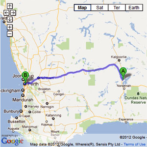
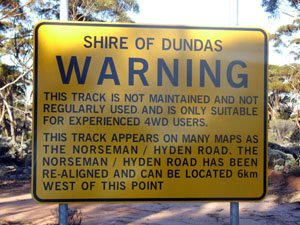
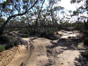
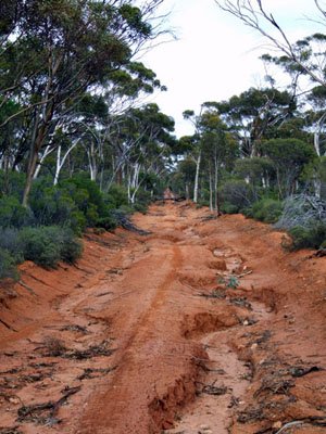
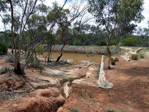
- Banker Mt Day rd is a gravelly track and can be tight in spots with regards to bush. The Old Hyden Norseman rd runs off the Queen Victoria Rock rd and can be adversely affected by rain. The road is not maintained nowadays. The Dundas-Balladonia telegraph line track has a causeway that may become flooded. The track itself can have fallen timber across it, though it is a easy track to traverse.
- Contact: DPaW Kalgoolie (08) 9080 5555 Kalgoolie


- Nearest service: Southern Cross, Norseman, Balladonia


- Track Length: 340km
- Distance from Perth: Southern Cross 375 km Balladonia 965km
- StreetSmart®Travellers Atlas 9th Edition Map: 82 Grid Ref: A 1
- Roads and Tracks Western Australia 2005 Map:45 Grid Ref: B 1
The Banker-Mt Day track will bring you out at the Hyden Norseman road. From here we headed east to the Queen Victoria Rocks road where we turned off that road onto the "Old Hyden Norseman" rd. A very easy drive in the dryer months but could become a bit of a handful in the winter months. The old road does get blocked by fallen trees so be prepared.
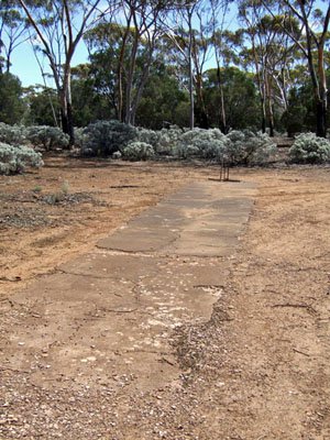
Arriving at Norseman the Dundas Heritage trail is located to the south on Old Coach rd which runs alongside of the racecourse. The information boards along this trail will give you indepth view of the early days with all the points of interest along the way. The trail is not suitable for caravans and is a good gravel rd.
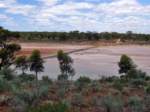
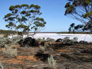
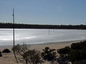
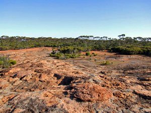
From the Dundas Heritage trail you can jump onto the Telegraph Line that will take you out to Balladonia rd. You will end up 14kms south of Balladonia. The track descends out of the hills and over Lake Dundas and onto a good track that is flat and easy to traverse. Along the way remains of the metal telegraph poles can be seen.
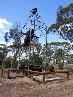
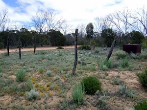
There are old linesman camps along the track which are roughly 50km apart. The track can also require detours around fallen trees. Information about the telegraph track can be found on the Dundas Heritage Trail. At the time of travel it looked like someone was surveying the area with regards to a heritage trail. There are a series of salt lakes along this track, it is wise to travel around them.

