Holland Track
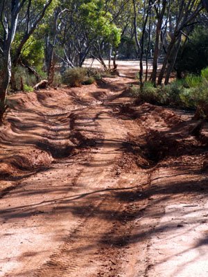
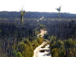
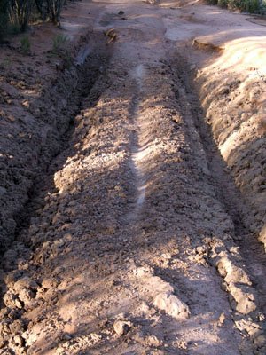
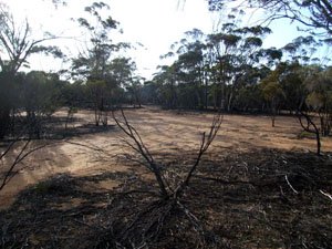
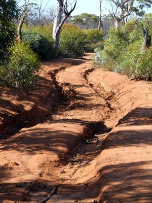
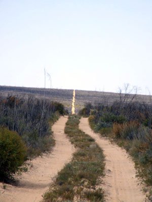
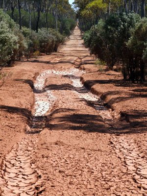
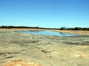
- An easy track to negoiate in the dry months, though during the winter it will become impassable. There are a lot of bog holes which predominatley occur at the N/E end and S/W sections after the Bounty Gold Mine.
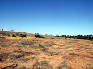
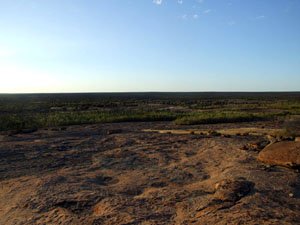
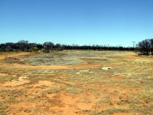
The track is well sign posted at HT01 which veers off Queen Victoria Road. At the first junction turning right will take you to Thursday Rock and give you an indication of what to expect with regards to track conditions. Heading S/W and onto Diamond Rock is fairly easy as the track runs through sandy soils except for the area between HT17 and HT31 where there are a series of bogholes. - Contact: DPaW Kalgoolie (08) 9080 5555 Kalgoolie DPaW Parks and Wildlife


- Nearest service:Coolgardie 558km / Hyden 339 km


- Track Length: Coolgardie to Hyden 410km
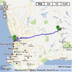
- Distance from Perth: Coolgardie(558km) then to HT01 80km
- StreetSmart®Travellers Atlas 9th Edition Map: 81 Grid Ref: D / 1
- Roads and Tracks Western Australia 2005
The track is well sign posted at HT01 which veers off Queen Victoria Road. At the first junction turning right will take you to Thursday Rock and give you an indication of what to expect with regards to track conditions.
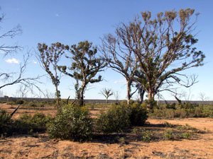
Heading S/W and onto Diamond Rock is fairly easy as the track runs through sandy soils except for the area between HT17 and HT31 where there are a series of bogholes.
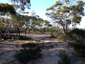
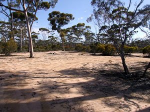
Most of the bogholes have a detour track around them. There are one or two down near the mines that don,t. A camper trailer may be alright in the summer/spring months but will get you into trouble if it rains. Do some further research if you intend to take a trailer. The section of track from HT20 to the Barrier Spur is fairly easy going except for some minor muddy sections (HT31 / 25) There are also a lot of large campsite areas along this stretch
After the Barrier Spur you will come to a sidetrack (HT36) that will take you to Sandalwood Rocks, which is about a 1KM detour. Continuing along that track will bring back to Holland Track (HT39)
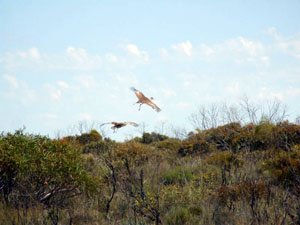
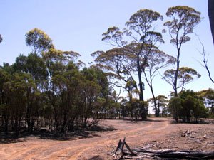
After Sandalwood Rocks the Mallee Fowl could be seen if your lucky. The tracks around the Bounty Mine and Forrestonia Southern Cross road can be muddy gravel with washouts at some spots in winter. There is a very good campsite that is elevated at HT41.
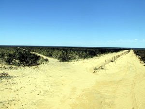
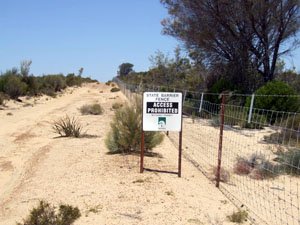
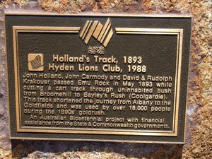
Leaving the mines proximity you will come to Wattle, Native and Sheoak Rocks. After these points the track crosses the Hyden Norseman road and then through the State Barrier fence (HT55). After Emu Rocks (HT56) the tracks becomes a formed gravel road.
Right click mouse and use scroll wheel to zoom the map below. You can also access the free map at maps.bushtrax.com where you view and download the map in the .mbtiles format. We have provided information about some apps that will handle this map format. Using your mobile to view in landscape mode is best.

