Fitzgerald National Park

- The tracks in Fitzgerald National Park are easy tracks to negotiate. There are plenty of camping areas near the Hammersley inlet and the eastern entry of the park. Moirs Track is an easy forestry track. There is bitumen rd access to Hamersley Inlet now.
- Facilities there were under construction at the time (Feb 14).Certain parts of the park will be closed during the winter months. You will find camping at the end of Hammersley Inlet road. Along the Hammersley Inlet rd you will see access to the beach at FTZ71.
- This track will take you through the Hammersley sand dunes to the beach. It is easier if you let your tyres down as it can be soft in spots. There are a series of posts that will define a path for you to follow. There is also camping at the 4 mile camping area. This is near Barron 's Beach and the eastern entrance (Hopetown end) of the park.
- Contact: DPaW Albany 9842 4500 DPaW Parks and Wildlife

 >
> 


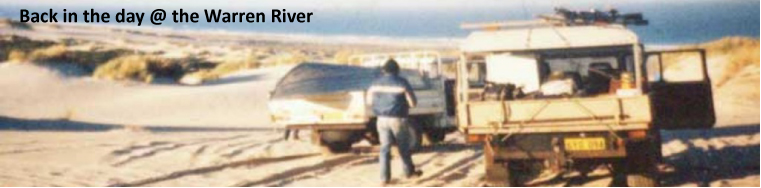
 @ Four Mile Campground.
 - Nearest service: Hopetown


 >
> - Track Length: 85km
 Mary Ann Haven
- Distance from Perth: Hopetown 603 km
West River rd and South Coast Hwy 512km - StreetSmart�Travellers Atlas 9th Edition Map: 44 Grid Ref: C 5
- Roads and Tracks Western Australia 2005 Map:10 10a Grid Ref: A 2
There are 3 ways to enter the park. The first is at the corner of Hammersley Drive and the South Coast Hwy. Hammersley Drive is a gravel rd within the confines of the park. Alternatively you can enter Hammersley Drive just before Hopetown off the Ravensthorpe-Hopetown rd. The third is Moirs rd which starts in the town of Ravensthorpe. Moirs rd eventually runs into Moirs track which is 4wd only and follows the Philip River for a way and runs into Hammersley Drive. There are gates at either end of the Moirs track and if they are locked at the Ravensthorpe end you may have to back track along John Forrest rd.
It does pay to check the DPaW regarding access in the colder months.


The Quoin Head track is hilly and steep in spots and does cross the Hammersley River. There are no special vehicle requirements and just before you actually get to the beach at Quion Head there is a very steep descent. There is a rough track that connects from Quoin Head to Whalebone Beach. This track has a nasty creek bed (FTZ09) that will require a degree of ground clearance and possibly low range, not reccomended for low vehicles. The track runs along small ridges and will take you over a small creek (FTZ11) and bring you to the beach at FTZ12.


Along the Quoin Head track you will see the Whalebone Beach track junction (FTZ27). This is an easy track to drive and will take you to Whalebone Beach and the western side of the Hammersley Inlet mouth. There is a descent to the beach(FTZ17) here and it is steep and soft(can be closed at times).
You will find camping at the end of Hammersley Inlet road. Along the Hammersley Inlet rd you will see access to the beach at FTZ71. This track will take you through the Hammersley sand dunes to the beach. It is easier if you let your tyres down as it can be soft in spots. There are a series of posts that will define a path for you to follow.
There is also camping at the 4 mile camping area. This is near Barron 's Beach and the eastern entrance (Hopetown end) of the park. There is also camping at Quion Head. There are clearings along the northern end of Moirs Track that allow camping along the Philip River.
 FTZ39")
