This map shows the coastline east of Esperance out to Israelite Bay starting at Legrand Beach.
View the Esperance East Map
There is a second map titled Thomas River to Israelite Bay Mt Ragged that will display the tracks north of Israelite Bay up Mt Ragged, Jurandah Rockhole and Kangawarrie Tank.
View the Mt Ragged map
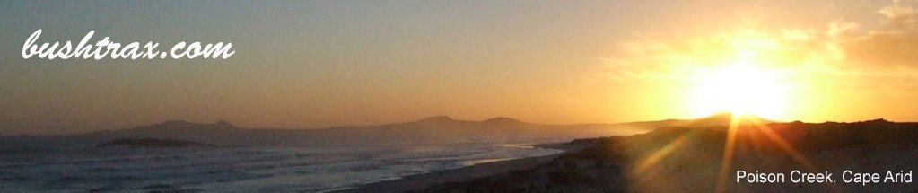
The Telegraph Track from Poison Creek rd to Pasley Track is permanently closed due to dieback. Cape Arid and the northern regions are generally closed in winter. Check the DBCA alerts on the previous page.
For Parmango and Balladonia road conditions within the Esperance Shire
For Balladonia road conditions within the Dundas Shire